Talladega National Forest
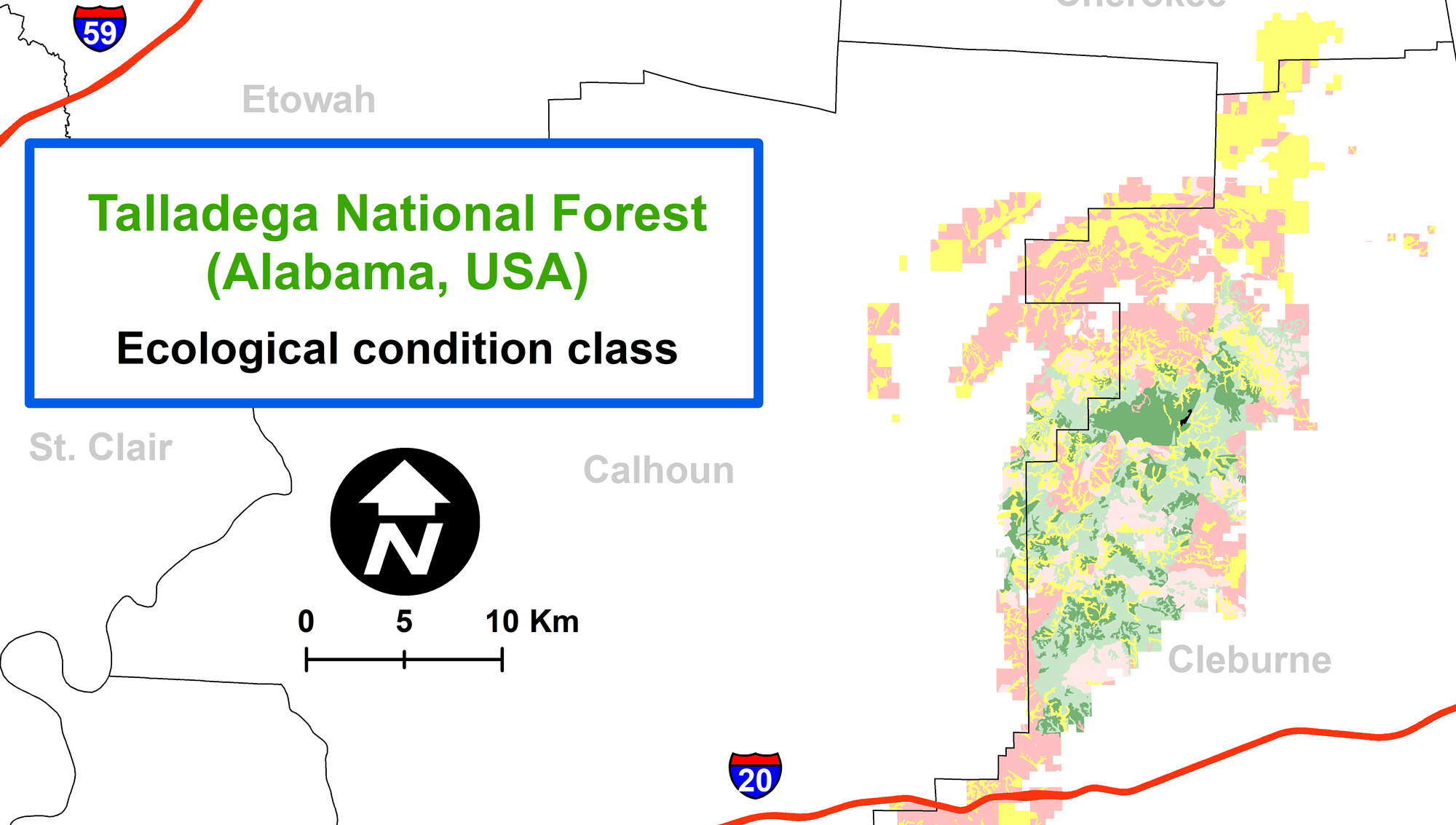
We are cooperating with the Talladega National Forest (Alabama) to develop products that will enhance their understanding of current forest condition (basal area, volume, species mixture) and how this information informs estimates of ecological condition.
In this work, we are utilizing a wide range of geographic information: (a) vector GIS databases of forest stands, roads, and other features, (b) aerial imagery from the U.S. Department of Agriculture NAIP program, (c) LiDAR from a mission flown across the State of Alabama, and (d) fire history, among others.